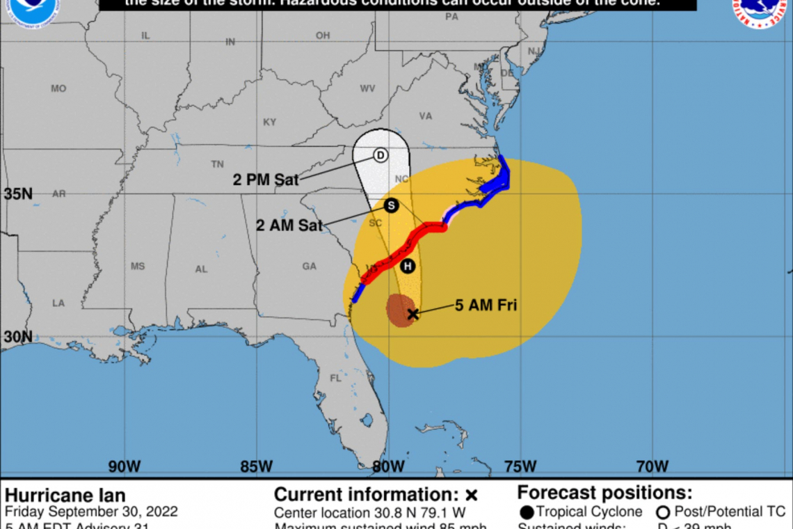
Hurricane Ian which devastated the Gulf Cost of Florida and tore-up vast swaths of the center of that state, departed Florida's coast into the Atlantic Ocean as a Tropical Storm yesterday. Once back over water, it re-strengthened back into a Hurricane and now has 85 MPH sustained winds as it heads into South Carolina.
The image above from the National Hurricane Center, shows the new computer model path of the Hurricane as it once again makes landfall, this time in South Carolina.
Hurricane Warnings, shown in red above, have gone up for vast areas of the South Carolina coast.
Looks like "Ian" is not done reeking havoc on the USA


