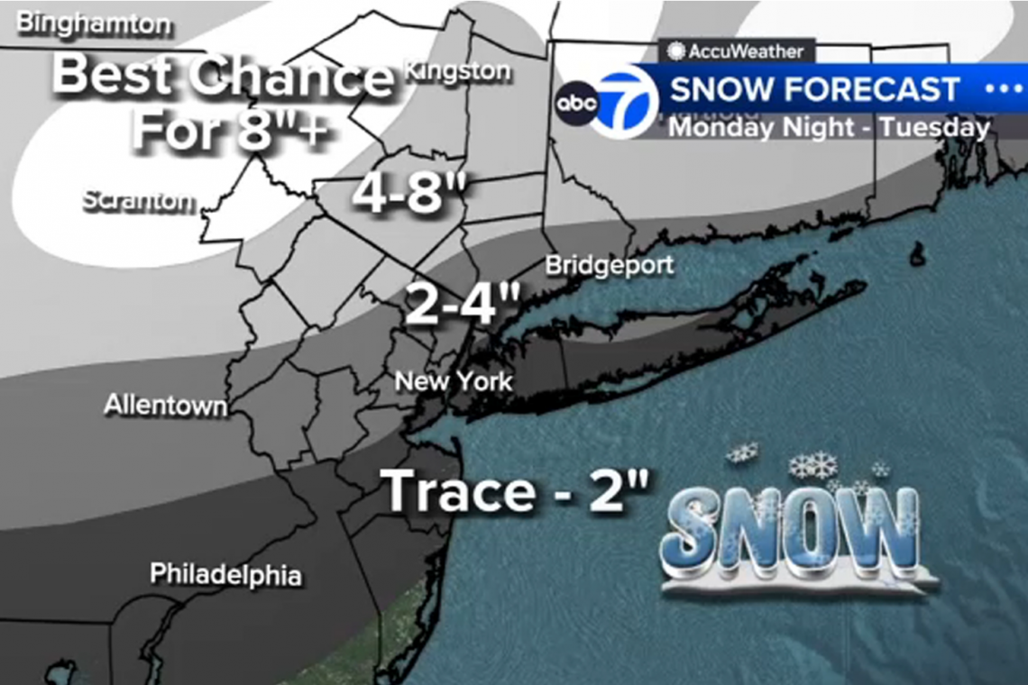
The National Weather Service is forecasting a big snowfall for the New York City Metropolitan area within the next 24 hours, but the forecasts are all over the place. From the forecast amounts, to the location of the rain/snow line, big disagreement.
Depending upon which weather forecasting service we look at up here, snowfall amounts vary from a low of 1"- 3" to a higher forecast of 4" - 8" to an even higher forecast of 6" - 9" for my town in New Jersey, which includes New York City. That's quite a deviation between forecasts.
In addition, there is big disagreement as to where the rain/snow line will set up. Some forecasts show it setting up in central New Jersey, which would make most of the area to the north, snow. Other forecasts show the line setting up north of Staten Island, NY, which would mean much less snow, albeit some, for my town.
As if that wasn't confusing enough, the time the precipitation begins is disputed as well. The National Weather Service says it begins as rain tonight around 1:00 AM. But other services say it will rain through 9:00 AM Tuesday, then change to all snow after that.
I know there are huge variables in weather forecasting, but for goodness sake, we're less than 24 hours away from this . . . . whatever it will be . . . . and we still can't get solid answers from the weather people.
Why would any of us believe them when they screech about "climate change" 50 years from now? They can't properly predict the weather 24 HOURS from now!


