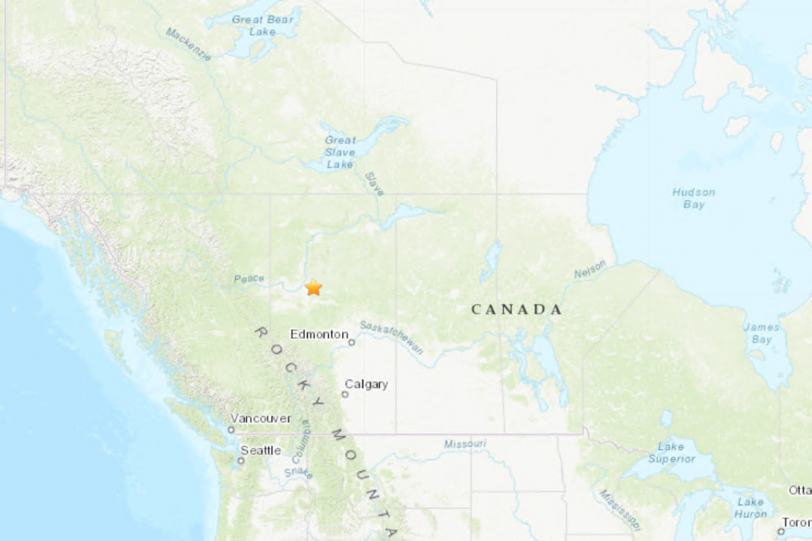
A strong Magnitude 5.0 earthquake struck Alberta, Canada at 10:59 PM eastern US time last night at a shallow depth of only 10km. The quake was widely felt throughout the province, and interestingly, shook several key military radar and communications sites nearby.
According to the US Geological Survey, the quake took place 44km east, southeast of Peace River, Alberta, Canada as shown on the scalable map below:
Less than one mile away from the epicenter, are several key military communications stations, with advanced radar to protect north America from incoming nuclear missiles if they come over the North Pole!
It is unknown if any of those were damaged by the strong earthquake.


