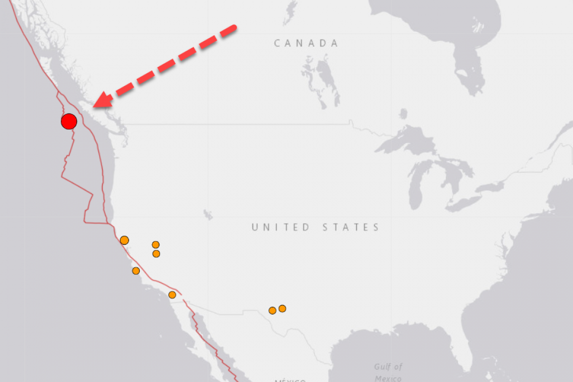
There has been a very strong Magnitude 6.0 earthquake in the Pacific Ocean just off Vancouver Island. The quake took place at a shallow depth of only 8.2km and was very widely felt. The area where this took place is the Cascadia Subduction Zone, where "the big one" will wreck California . . .
From the US Geological Survey:
The tectonics of the Pacific margin of North America between Vancouver Island and south-central Alaska are dominated by the northwest motion of the Pacific plate with respect to the North America plate at a velocity of approximately 50 mm/yr. In the south of this mapped region, convergence between the northern extent of the Juan de Fuca plate (also known as the Explorer microplate) and North America plate dominate. North from the Explorer, Pacific, and North America plate triple junction, Pacific:North America motion is accommodated along the ~650-km-long Queen Charlotte fault system. Offshore of Haida Gwaii and to the southwest, the obliquity of the Pacific:North America plate motion vector creates a transpressional regime, and a complex mixture of strike-slip and convergent (underthrusting) tectonics. North of the Haida Gwaii islands, plate motion is roughly parallel to the plate boundary, resulting in almost pure dextral strike-slip motion along the Queen Charlotte fault. To the north, the Queen Charlotte fault splits into multiple structures, continuing offshore of southeastern Alaska as the Fairweather fault, and branching east into the Chatham Strait and Denali faults through the interior of Alaska. The plate boundary north and west of the Fairweather fault ultimately continues as the Alaska-Aleutians subduction zone, where Pacific plate lithosphere subducts beneath the North America plate at the Aleutians Trench. The transition is complex, and involves intraplate structures such as the Transition fault. The Pacific margin offshore British Columbia is one of the most active seismic zones in North America and has hosted a number of large earthquakes historically.
At the southern extent of the mapped region offshore of Vancouver Island lies a complex triple junction between the Pacific, North America, and Juan de Fuca plates (which includes the Explorer and Winona microplates). The Winona microplate experiences little relative motion with respect to North America. Similarly, at its northern extent the Explorer microplate tracks North America plate motion, but is subducting at a rate of 2 cm/yr near its southern extent adjacent to the Nootka Fault. Farther south the main body of the oceanic Juan de Fuca plate converges with and subducts beneath the continental North America plate at a rate of 4.0–4.5 cm/yr. The Explorer microplate is heavily deformed by internal dextral faulting, experiencing frequent moderate-sized earthquakes. During the period from 1973 to 2013, this ~30-km-wide area experienced close to 50 earthquakes of M 5 or greater. The largest of these was a M 6.7 event that occurred on April 6, 1992. On January 5, 2008, M 6.6 and M 6.4 earthquakes struck in this same region just 40 minutes apart, and were separated by less than 20 km along a SE/NW trend that is sub-parallel to the motion of the Pacific plate. Like many other similar events in the region, no damage or casualties were reported for these earthquakes.


