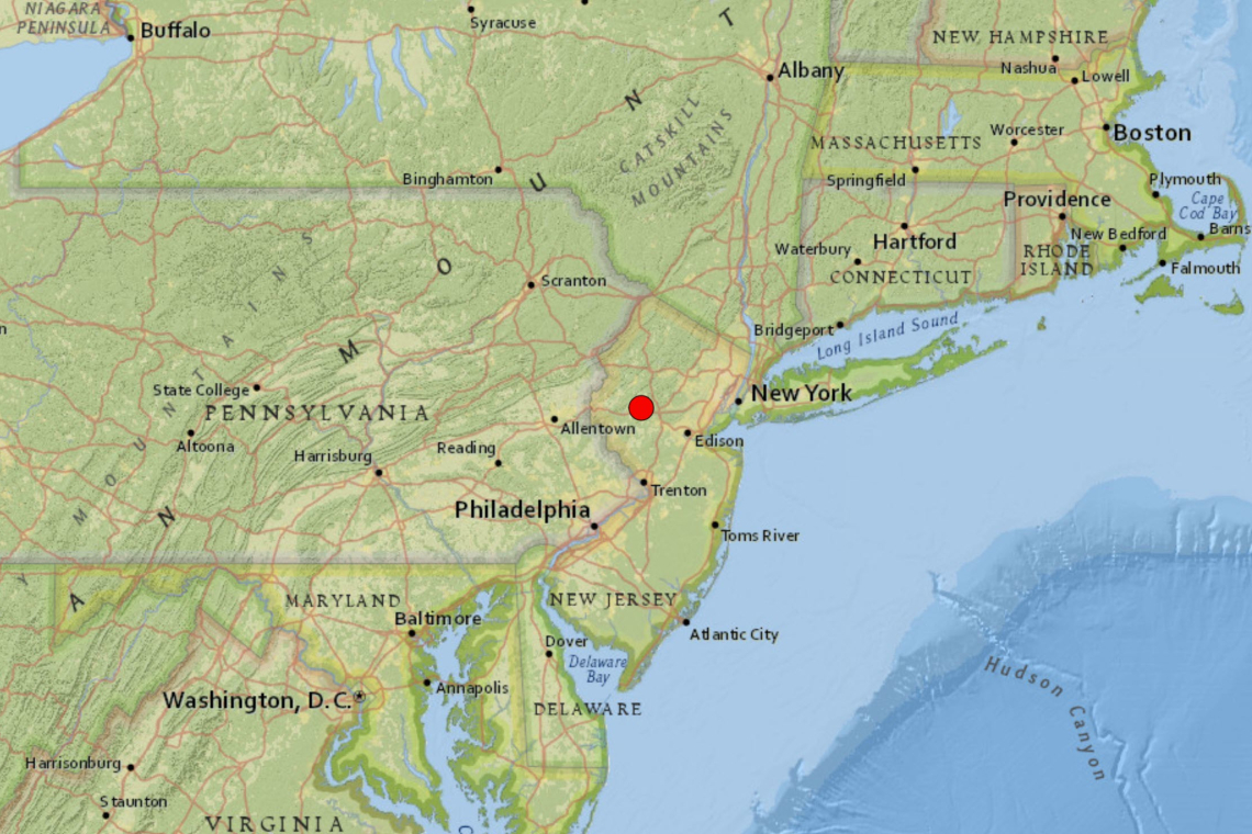
A magnitude 4.8 earthquake has struck New Jersey. The quake hit at a shallow depth of only 1km in Lebanon, NJ, 45 miles west of New York City and was widely felt.
According to the US Geological Survey, the quake struck at 10:23 AM eastern US time.
My website tech guy texted me saying "We just got hit with an earthquake." My wife and I did **NOT** feel it in our Condo in North Bergen, but he felt it out in central New Jersey, and his parents felt it all the way south to Monroe TWP.
He told me it lasted about 30 seconds!
More as I get it.
UPDATE 10:51 AM EDT --
According to the USGS, the earthquake registered all the way up to Hartford, CT, out onto Long Island, NY and into Pennsylvania! Here's the shake map:

Regional Information:
Earthquakes in the New York - Philadelphia - Wilmington Urban Corridor
Since colonial times people in the New York - Philadelphia - Wilmington urban corridor have felt small earthquakes and suffered damage from infrequent larger ones. New York City was damaged in 1737 and 1884. Moderately damaging earthquakes strike somewhere in the urban corridor roughly twice a century, and smaller earthquakes are felt roughly every 2-3 years.
Earthquakes in the central and eastern U.S., although less frequent than in the western U.S., are typically felt over a much broader region. East of the Rockies, an earthquake can be felt over an area as much as ten times larger than a similar magnitude earthquake on the west coast. A magnitude 4.0 eastern U.S. earthquake typically can be felt at many places as far as 100 km (60 mi) from where it occurred, and it infrequently causes damage near its source. A magnitude 5.5 eastern U.S. earthquake usually can be felt as far as 500 km (300 mi) from where it occurred, and sometimes causes damage as far away as 40 km (25 mi).
Faults
Earthquakes everywhere occur on faults within bedrock, usually miles deep. Most bedrock beneath the urban corridor was assembled as continents collided to form a supercontinent about 500-300 million years ago, raising the Appalachian Mountains. Most of the rest of the bedrock formed when the supercontinent rifted apart about 200 million years ago to form what are now the northeastern U.S., the Atlantic Ocean, and Europe.
At well-studied plate boundaries like the San Andreas fault system in California, often scientists can determine the name of the specific fault that is responsible for an earthquake. In contrast, east of the Rocky Mountains this is rarely the case. New York City, Philadelphia, and Wilmington are far from the nearest plate boundaries, which are in the center of the Atlantic Ocean and in the Caribbean Sea. The urban corridor is laced with known faults but numerous smaller or deeply buried faults remain undetected. Even the known faults are poorly located at earthquake depths. Accordingly, few, if any, earthquakes in the urban corridor can be linked to named faults. It is difficult to determine if a known fault is still active and could slip and cause an earthquake. As in most other areas east of the Rockies, the best guide to earthquake hazards in the New York - Philadelphia - Wilmington urban corridor is the earthquakes themselves.