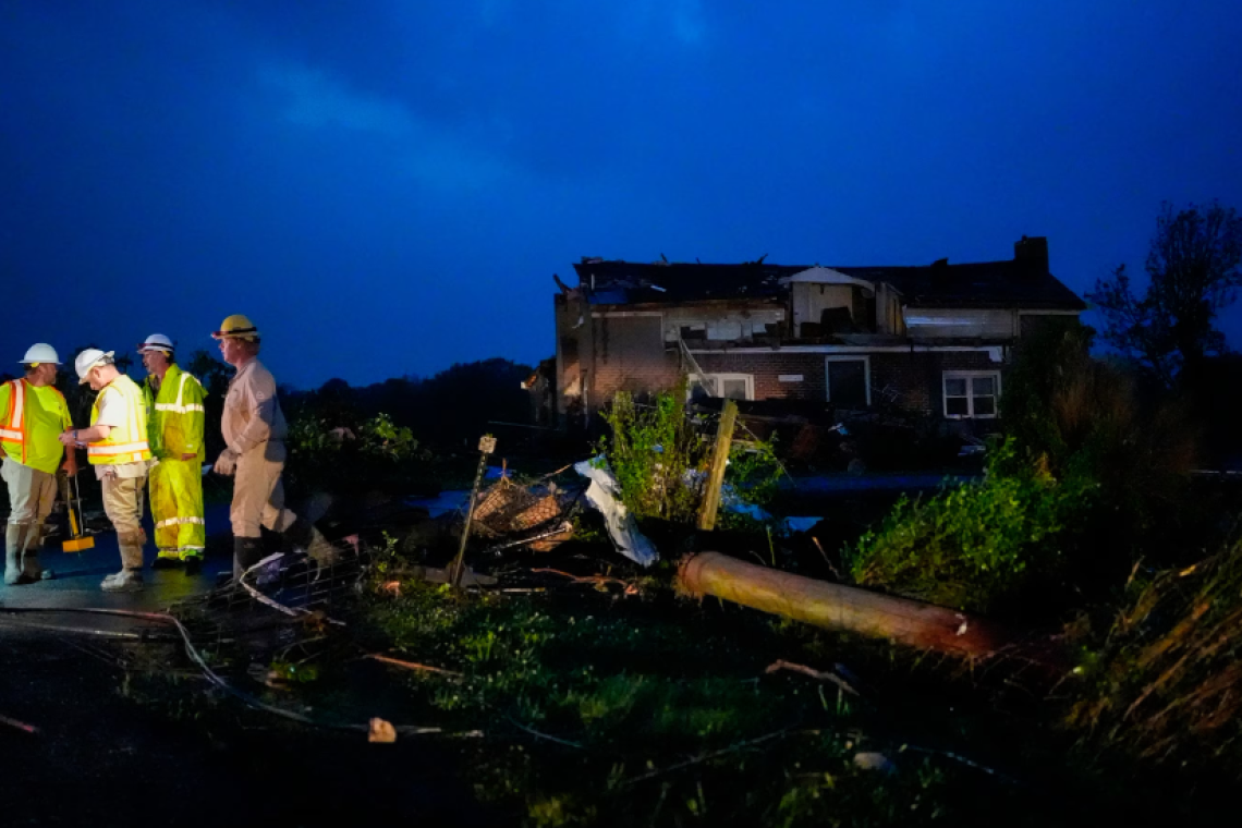
At least at least 13 reported tornadoes across Kansas, Tennessee, Illinois, Kentucky, South Dakota and Missouri have been reported in the last 24 hours,
with more than 350 damaging storm reports from Kansas to Carolinas, including hail greater than softball in Missouri and wind gusts up to 72 mph in Indiana.
There was a Tornado Emergency issued near Huntsville, Alabama, overnight into Thursday along with at least one reported tornado that produced damage.
In addition to all the severe weather, a Flash Flood Emergency was issued north of Nashville, Tennessee where some areas got more than 8 inches of rain in just a matter of hours as water rescues were reported in the area overnight.
On Thursday, tornado watches continue for Tennessee, Mississippi and Alabama until 10 a.m. CT as the threat that has existed over the past few days begins to dissipate.
Meanwhile, severe weather is forecast for Thursday afternoon across the entire South from Texas to the Carolinas and also from Virginia to southern New Jersey.
The highest threat for tornadoes today will be from Texas to South Carolina, including cities such as: Dallas, Texas; Austin, Texas; Shreveport and Alexandria, Louisiana; Jackson, Mississippi; Birmingham and Montgomery, Alabama; and Atlanta and Columbus, Georgia.
Damaging winds and large hail also will be a threat today in these areas and a tornado threat for several Mid-Atlantic states will be low today, but not zero.
Elsewhere, an isolated tornado can’t be ruled out in Baltimore, Maryland; Washington, D.C.; or Richmond, Virginia and the biggest threat in the Mid-Atlantic on Thursday will be damaging winds of 60 mph or higher.


