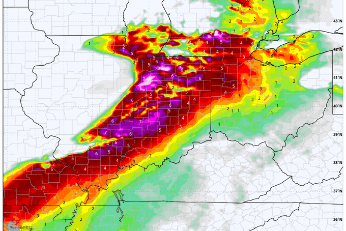
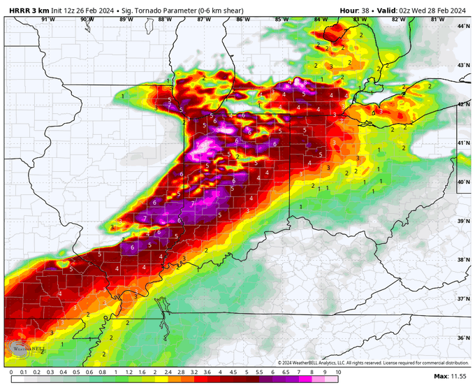
Over the weekend, I published a "Heads-up" article about weather this week. Today, weather charts are showing SERIOUS indications of VERY SEVERE weather for southern Illinois, ALL of Indiana, and western Ohio; with TORNADO PARAMETERS very high.
The full Tornado Parameter chart from above, is fully reproduced here:
People who live in these areas, and any areas EAST of what you see on the map, had better get prepared ASAP. This is SERIOUS weather trouble tonight, and especially tomorrow.
12Z Day 2 Tornado Forecast for 2024-2-27 (New New 2022 Models) pic.twitter.com/OjZIZCWzPX
— Nadocast (@nadocast) February 26, 2024
and . . .
LIVE subscriber briefing on the CONDITIONAL #TORNADO potential in central IL through northern IN Tuesday evening. Gorilla hail will be the main threat with slightly elevated supercells after dark, but isolated #tornadoes are also possible via dynamic piping. Storm chase mode pic.twitter.com/OqOlxAcXYr
— Reed Timmer, PhD (@ReedTimmerUSA) February 26, 2024


