Winter arrived in the heartland and Climate-Change Retards are freaking out because . . . it's cold. Cold air from the north pole descended through Canada into the U.S. Yet, to folks in Montana and the Dakotas, it's just another Winter.
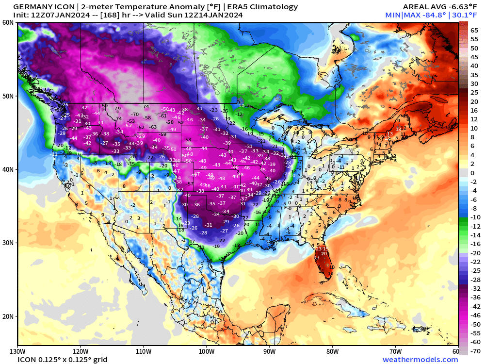
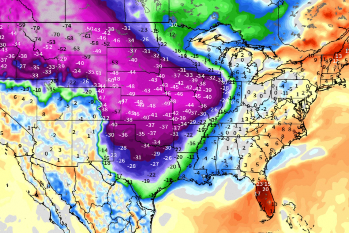
Temperatures in the heartland of the United States plummeted this weekend as shown on the map below, with below zero ACTUAL temperatures and wind chills that are . . . well . . . what we get in Winter.

By any measure, these temperatures are extreme, and some cold records have been broken by a couple degrees. But only by a couple degrees.
New record lows across Montana on Saturday:
- Billings: -26°
- Bozeman: -45°
- Butte: -45°
- Cut Bank: -41°
- Dillon: -41°
- Glasgow: -35°
- Great Falls: -37°
- Hamilton: -38°
- Havre: -42°
- Helena: -36°
- Kalispell: -33°
- Lewistown: -43°
- Missoula: -22°
Yet, that's what happens in Winter.
While it is certainly something that's news worthy, it is **not** some horrifying, man-made "climate change." The areas being affected by this "Polar Vortex" are affected this way almost every year, and it's been this way for decades.
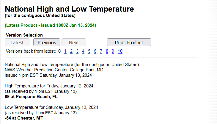
According to the National Weather Service, the continental United States (the lower 48 contiguous states) had the following temperatures extremes yesterday:
The Rocky Mountains are blocking warmth from the Pacific from eroding the Arctic blast now draining into Texas. New England is relatively mild! However, moisture will be overrunning that cold air and wintry mix / freezing rain threat will increase in TX/AR/LA
As the heartland deals with this cold, the east is relatively mild, but that won't last long. A SECOND bout of "Polar Vortex" is forecast to come down this coming week, and when it does, it will come down right over the northeastern US.
Budle-up!


